F.A.Q.
In this article, we will seek to provide answers for the common questions that come up concerning locating.
Q: Why won’t 811 mark your utilities?
A: It is the law to call 811 before digging. However, 811 only marks publicly owned utilities or those owned by private companies. For example, 811 will mark up to the water meter. The line from the water meter to your house is a private utility. Therefore, you must hire a private utility locator to locate private lines.
Q: Can your equipment provide depths?
A: Yes, the equipment can provide depths. However, several factors affect accuracy, including signal strength, utility material, congestion, and proximity to other lines. Because many conditions influence depth, NG Companies recommends using hydrovac methods for precise measurements.
Q: Should I have a private locate before installing a fence?
A: Yes. Whenever the ground will be disturbed, it is the law to call 811. While 811 will mark public utilities, it does not mark private utilities on your property.
Q: Can you locate water lines?
A: Water lines can be located depending on the material. Copper and steel pipes are locatable. PVC, PEX, and other plastics are only locatable with a tracer wire. If a line is made of non-locatable material, NG’s hydrovac trucks can be used with ASCE’s Quality Levels C and D to expose and locate the line.
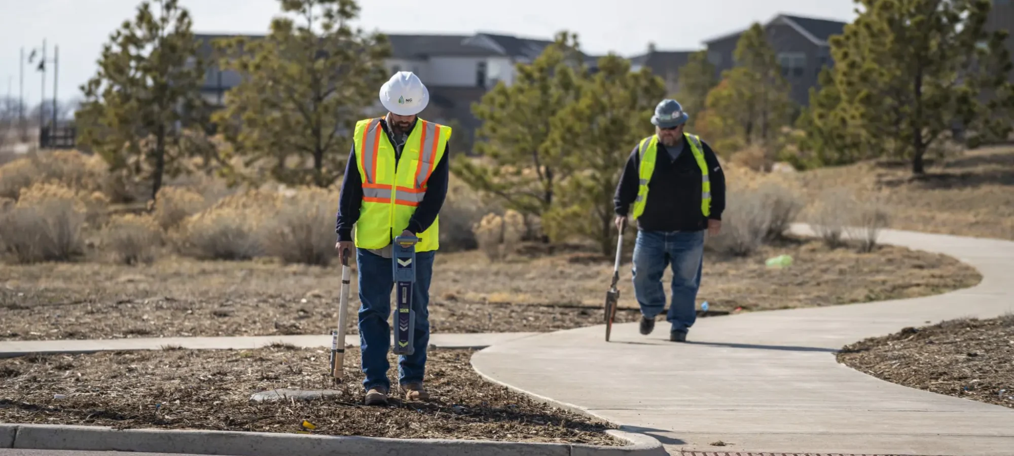
Q: Can you locate irrigation lines?
A: NG’s equipment can locate control wires. Typically, control wires run alongside the main lines.
Q: What does each color paint mean?
A: Red indicates electrical. Orange indicates communication lines. Yellow indicates gas lines. Blue indicates potable water. Green indicates sewer lines. Purple indicates non-potable water. Pink indicates temporary or unknown markings. White indicates proposed excavation or boundaries.
Q: How accurate are your locates?
A: Accuracy depends on equipment and conditions. In ideal conditions, horizontal accuracy is about 15% of the line depth. For example, a line buried 5’ deep would have a horizontal accuracy of 9”. In real-world conditions, NG requires a 2’ tolerance in each direction. If greater accuracy is needed, daylighting the line is required before further digging.
Q: How far in advance should I call?
A: NG prides itself on a quick turnaround. Typically, locates are scheduled and completed within 48 hours.
Q: How long are my marks valid for?
A: Markings are valid for 30 days or until they fade. Refreshes are required after 30 days or when markings are no longer clearly visible.
Q: What are ASCE’s quality levels of locating?
A: There are four recognized quality levels for underground utility information, ranging from D (lowest) to A (highest). NG locating provides Quality Levels D and C on every project. In combination with NG Hydrovac, we offer levels D through A.
-
Quality Level D (QL-D) – Basic information comes from utility records or verbal recollection. It provides a general idea of utility congestion but is limited in accuracy. Useful for planning and route selection.
-
Quality Level C (QL-C) – Surveys visible facilities (manholes, valve boxes) and correlates with QL-D data. Often used in rural areas with fewer utilities. Some omissions or errors may exist.
-
Quality Level B (QL-B) – Uses surface geophysical methods to determine the existence and horizontal position of utilities. This level corrects inaccurate records and identifies unrecorded facilities. It supports preliminary engineering and avoids costly relocations.
-
Quality Level A (QL-A) – The highest accuracy level using full subsurface utility engineering. Provides precise plan and profile mapping of utilities, including type, size, condition, and material.
Contact us today!
 About NG CompaniesLearn more about NG Companies’ values, missions, and why we’re the right choice to partner with you.
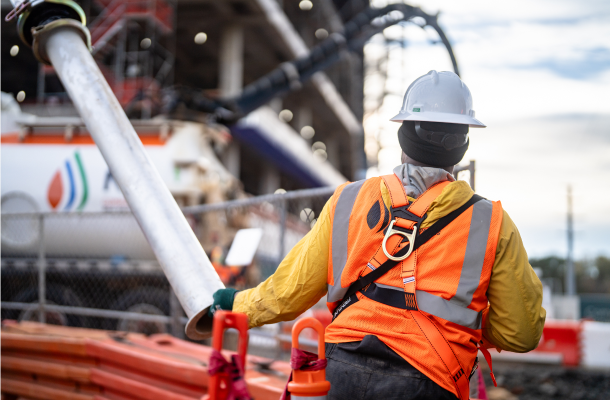 SafetyLearn more about how we keep our people, our partners, and the public safe.
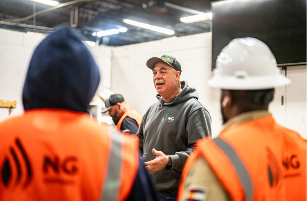 NewsLearn more about how we keep our people, our partners, and the public safe.
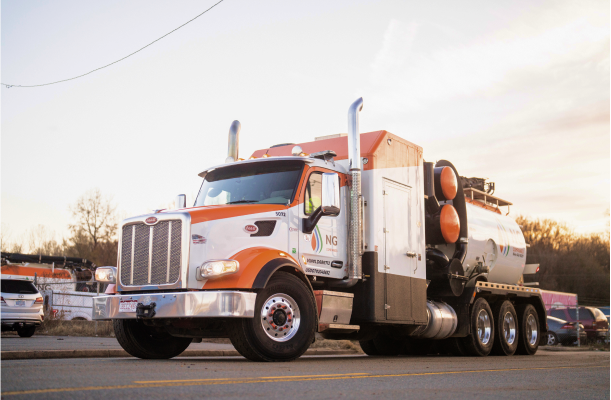 Our WorkTo learn the scope and caliber of NG Companies’ work, explore our proud body of work.
 OverviewDiscover how we deliver the highest level of damage prevention to ensure safety on all of your projects.
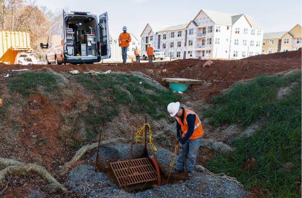 Video Pipe InspectionLearn how we operate our 360° video pipe inspection to ensure accuracy and precision.
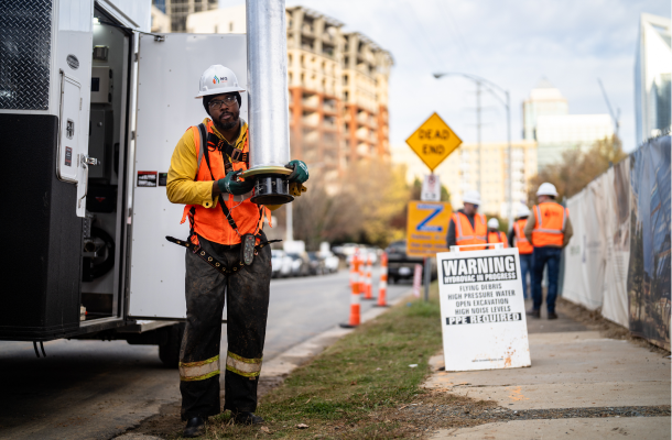 HydrovacUnderstand what sets NG Companies apart with leading and precise industry technology.
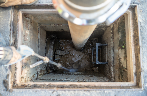 Hydro JettingLearn about NG Companies’ abilities to clear build-up and debris, damage assessment, and utility restoration.
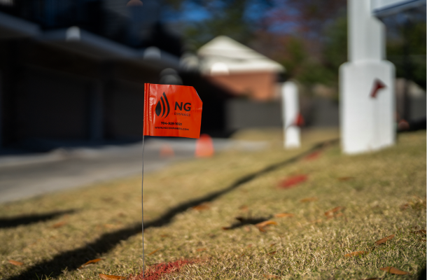 Utility LocatingNG Companies will provide swift and accurate utility locating services. Learn more about how we do it.
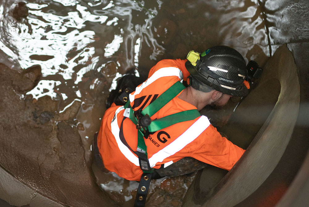 Trenchless Pipe RepairTrenchless pipe repair for fast, no-dig sewer and water line restoration with minimal disruption and lower costs.